 |
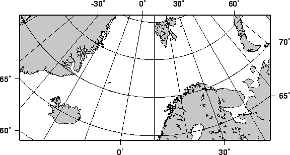
As with Lambert's azimuthal equal-area projection we have the option to use rectangular boundaries rather than the wedge-shape typically associated with polar projections. This choice is defined by selecting two points as corners in the rectangle and appending an ``r'' to the -–R option. This command produces a map as presented in Figure 5.13:
#!/bin/sh
#    $Id: GMT_stereographic_rect.sh,v 1.1 2001/03/21 04:10:21 pwessel Exp $
#

gmtset DEGREE_FORMAT 1 OBLIQUE_ANOTATION 30
pscoast -R-25/59/70/72r -JS10/90/11c -B30g10/5g5 -Dl -A250 -G200 -W.25p -P > \
    GMT_stereographic_rect.ps