LocMOC is written in the IDL 5.1 language and was developed on a UNIX platform. LocMOC is most useful when you also have the USGS program Mapmaker to provide the Viking basemaps that LocMOC uses to plot MGS data over.
You can take a look at the LocMOC user's manual if you like. You are also welcome to download the software. Just download it, unzip and untar the file, and follow the directions in the readmes.
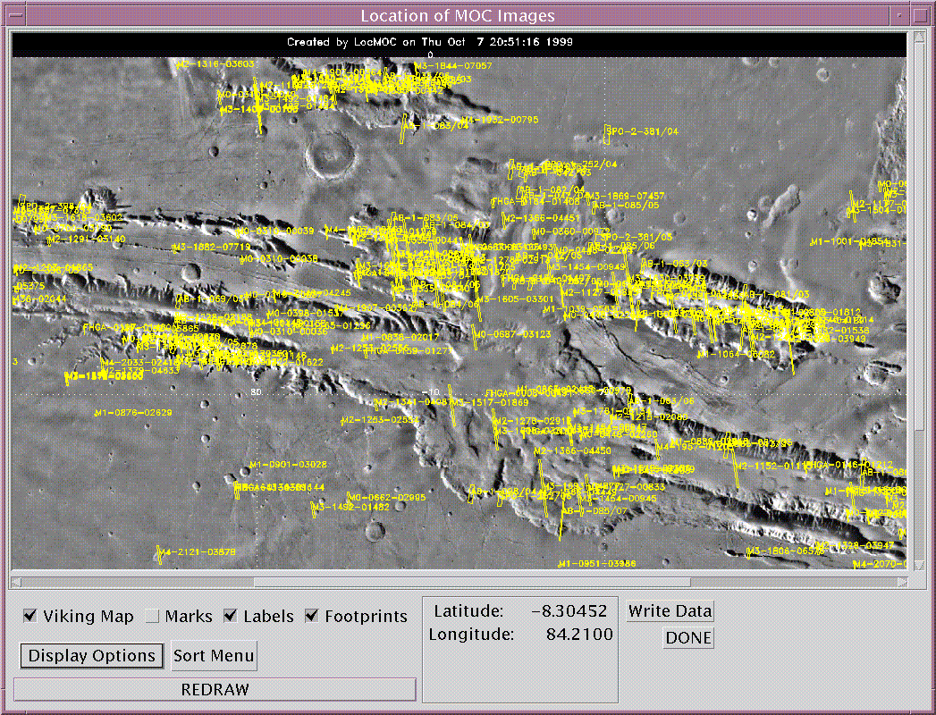
LocMOC is capable of displaying all of the MOC footprints over a large area on Mars (click on the image below to see the same image with image numbers displayed).
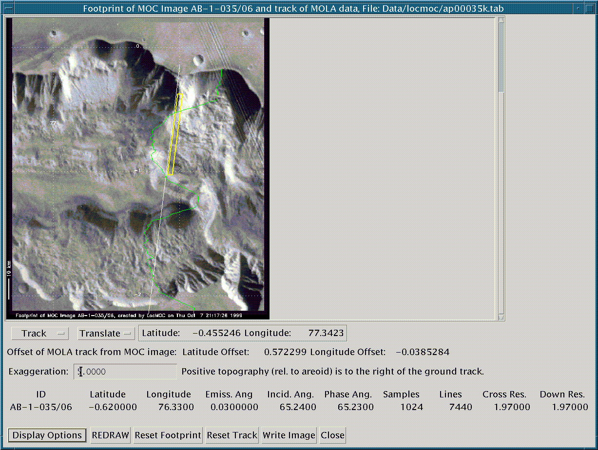
LocMOC is also capable of zeroing in on a particular MOC footprint or MOLA track, plotting it on the Viking basemap, and allowing the user to move the footprint or ground track around to attain a better match between features in the MGS data and the Viking basemap (which has some coordinate offsets).
If you think that this software could be useful to you, please download it, and enjoy. If you have any problems or difficulty downloading or using the LocMOC software, please contact locmoc@pirlmail.lpl.arizona.edu.
![]()
Last Modified: 7 April 2000