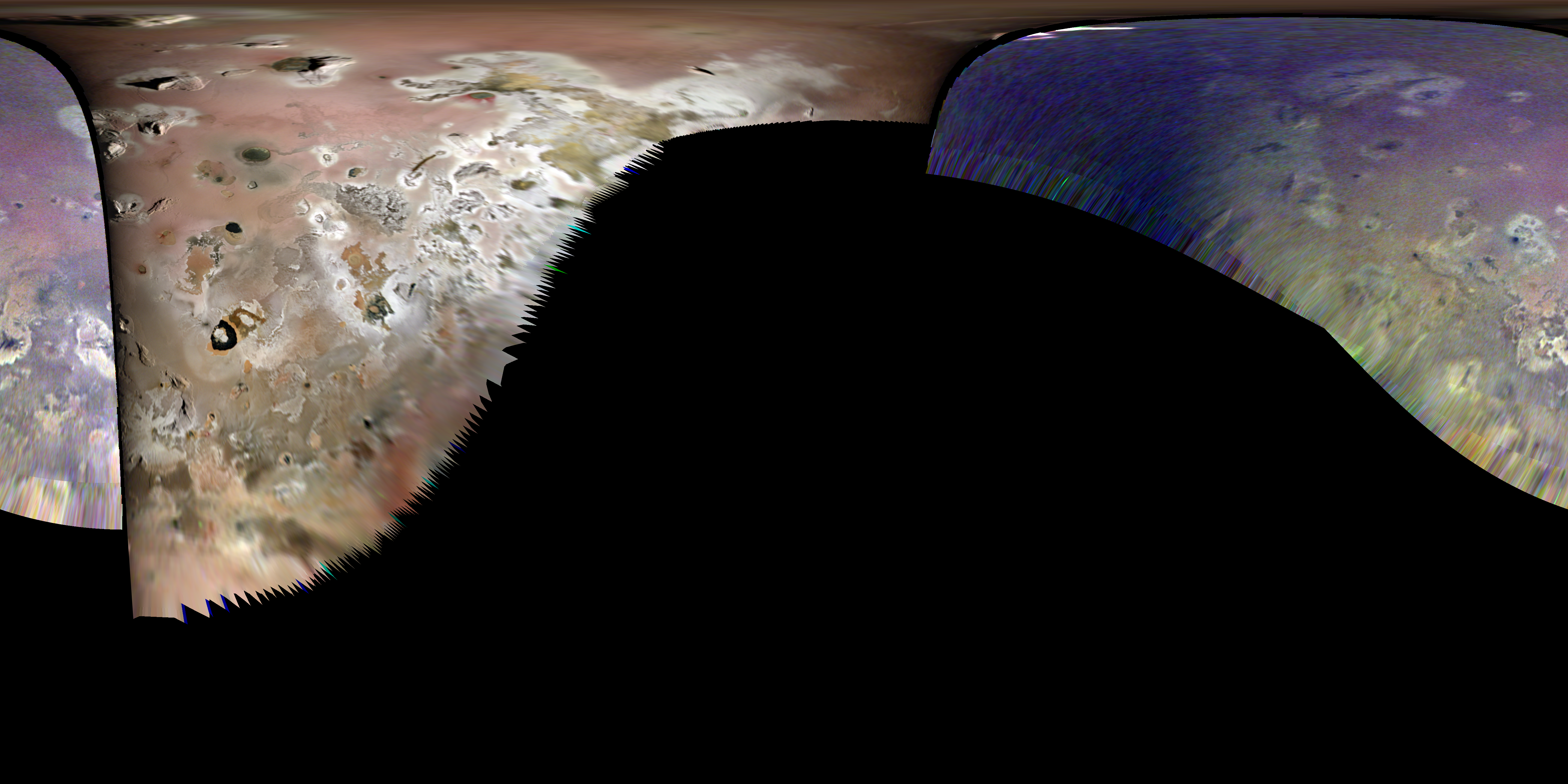
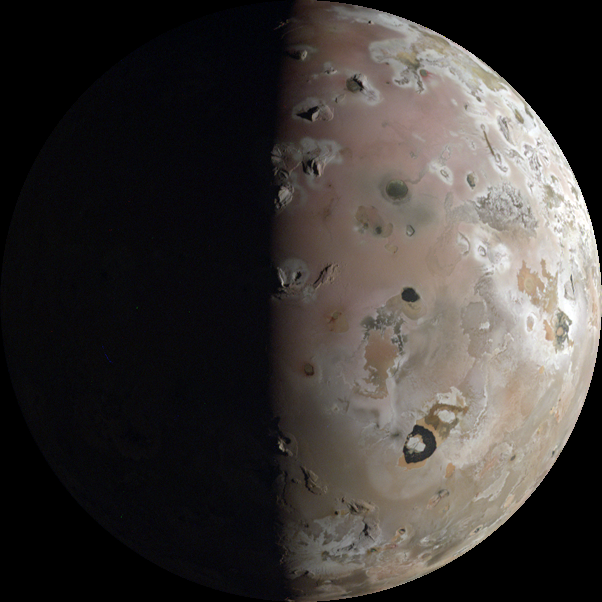
global map of photometrically-corrected images at 2 km/pixel
| Image Thumbnail | Title |
|---|---|
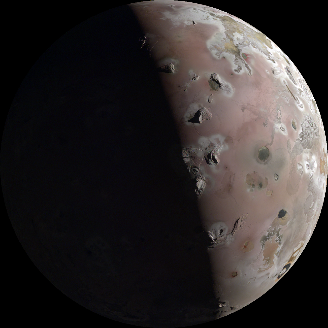 |
JNCE_2023364_57C00022_V01
Image Time: 12/30/2023 08:37:44.608 Resolution: 1837.665 m/pixel Center Latitude: 61.451 North Center Longitude: 348.550 West Altitude: 2731.774 km Phase: 95.041° |
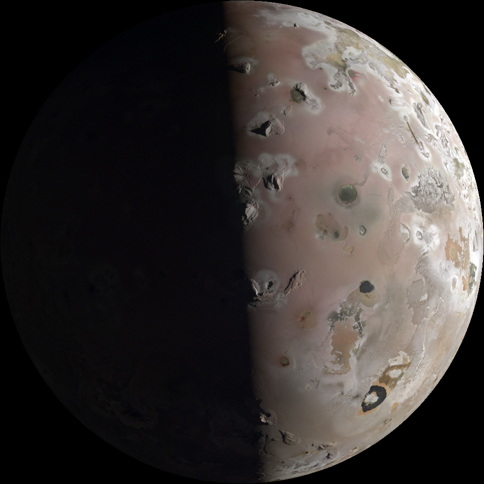 |
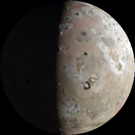
JNCE_2023364_57C00023_V01
Image Time: 12/30/2023 08:38:45.444 Resolution: 2780.486 m/pixel Center Latitude: 50.539 North Center Longitude: 336.090 West Altitude: 4133.322 km Phase: 90.062° |
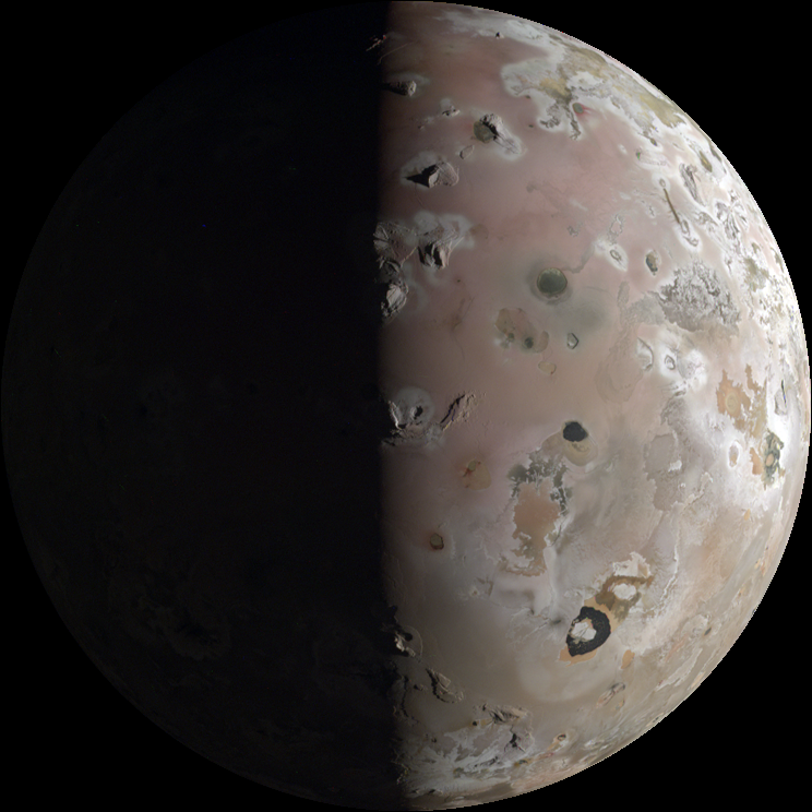 |
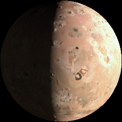
JNCE_2023364_57C00024_V01
Image Time: 12/30/2023 08:39:46.241 Resolution: 3846.924 m/pixel Center Latitude: 43.552 North Center Longitude: 331.256 West Altitude: 5718.633 km Phase: 87.060° |
 |
JNCE_2023364_57C00025_V01
Image Time: 12/30/2023 08:40:46.937 Resolution: 4971.817 m/pixel Center Latitude: 38.957 North Center Longitude: 328.777 West Altitude: 7390.838 km Phase: 85.149° |
 |
JNCE_2023364_57C00030_V01
Image Time: 12/30/2023 08:46:55.990 Resolution: 12200.567 m/pixel Center Latitude: 28.164 North Center Longitude: 324.697 West Altitude: 18136.714 km Phase: 80.882° |
 |
JNCE_2023364_57C00031_V01
Image Time: 12/30/2023 08:47:56.792 Resolution: 13413.601 m/pixel Center Latitude: 27.409 North Center Longitude: 324.540 West Distance: 19939.946 km Phase: 80.598° |
Image Credit: NASA/SWRI/MSSS/University of Arizona/LPL/Jason Perry