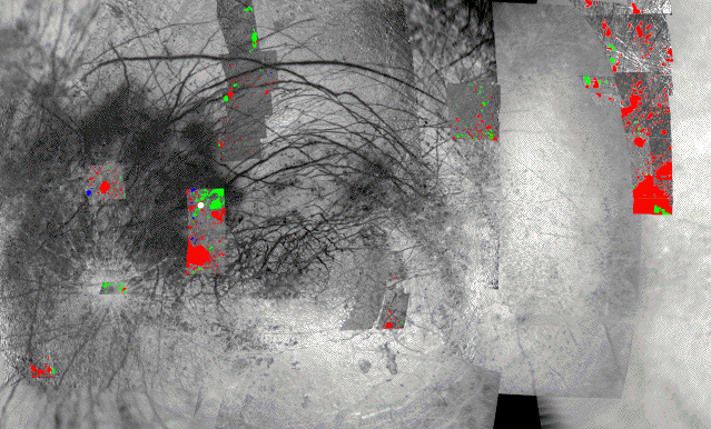
Figure 3: Our mapping of chaotic terrain in regions where ~200 m resolution imaging is available, superimposed on a global low resolution (km-scale) mosaic for context. This mercator projection covers longitudes from 60 deg. W to 310 deg. W, and latitudes from -60 to +60 deg.